Project update
Thanks for having your say! The Community Land Plan of Management was adopted by Council on 24 March 2026. View the final plan here.
Community Land Plan of Management
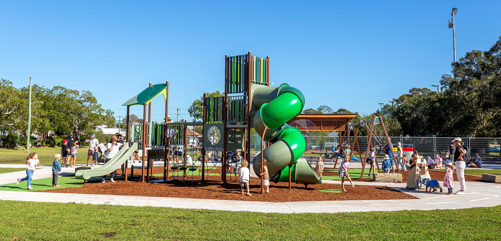
We're responsible for managing a wide range of open spaces such as parks, sportsgrounds, recreation spaces and natural areas. These areas, called community land are set aside for use by the general public and cannot be sold.
We're required to prepare and adopt a Plan of Management (PoM) for all community land under the Local Government Act 1993. It provides an important management tool to ensure a consistent and transparent approach for the management and use of public land.
We've prepared an updated Community Land PoM which consolidates and supersedes our existing generic PoMs for Sportsgrounds, Parks, Bushland, General Community Use, and some site specific PoMs. This will provide greater clarity and consistency regarding the management of land under our care and control.
The majority of reserves will retain the same category relating to their current usage and purpose.
However, some parcels of land are being re-categorised to better align with their current use, function or site conditions, or where land has recently been dedicated to City of Newcastle.
Categories of land
Land should be categorised as a park under section 36(4) of the Act if:
- the land is, or is proposed to be, improved by landscaping, gardens or the provision of non-sporting equipment and facilities;
- for use mainly for passive or active recreational, social, educational and cultural pursuits that do not unduly intrude on the peaceful enjoyment of the land by others.
Land should be categorised as a sportsground under section 36(4) of the Act if:
- the land is used or proposed to be used primarily for active recreation involving organised sports or the playing of outdoor games.
Land should be categorised as general community use under section 36(4) of the Act if the land:
- is made available for use for any purpose for which community land may be used, whether by the public at large or by specific sections of the public, and
- does not satisfy the guidelines for categorisation as natural area, sportsground, park or area of cultural significance.
Land that contains buildings used for community use or drainage reserves have been categorised as general community use.
Land should be categorised as a natural area under section 36(4) of the Act if the land:
- is identified as an environment asset
- whether or not in an undisturbed state, possesses a significant geological feature, geomorphological feature, landform, representative system or other natural feature or attribute that would be sufficient to further categorise the land as bushland, wetland, escarpment, watercourse or foreshore under section 36(5) of the Act.
Bushland
- a place with endemic vegetation that includes 50% native species and has the opportunity for assisted regeneration.
Foreshore
- The transition area between the aquatic and terrestrial environment.
- To facilitate the ecologically sustainable use of the foreshore, and to mitigate impact on the foreshore by community use.
Escarpment
- Slopes greater than 40 degrees with or without vegetation cover.
- Includes important geological, geomorphological or scenic features and to facilitate safe community use and enjoyment of the escarpment.
Watercourse
- Urban creeks and riparian corridors which provide habitat for native wildlife, resist erosion and prevent sedimentation, stormwater conveyance, water quality, reduce flooding risks and offer recreation and amenity.
Wetlands
- Areas of land where water covers the soil – all year or just at certain times of the year.
- Protect shoreline from wave action, reduce the impacts of floods, absorb pollutants and improve water quality; provide habitat for animals and plants; many contain a wide diversity of life, supporting plants and animals that are found nowhere else.


Thanks for having your say!
We invited your feedback to ensure that open spaces under our care and control align with the needs of the broader community. The draft Community Land Plan of Management was on public exhibition from 30 September to 11 November 2025.
Protecting your privacy
City of Newcastle is committed to protecting your privacy. We take reasonable steps to comply with relevant legislation and Council policy.
Purpose of collecting personal details: Council is collecting this information to determine the local community’s views and opinions on the document outlined.
Intended recipients: Information provided as part of the consultation will be used as part of the investigation into the document, and may be included in future reports on the issue.
Storage and security: Information provided will be stored on Council's database and will be subject to Council’s information and privacy policies.
Access: Individuals can access data to check accuracy by contacting Council.


